Click here to read on your browser and to see past posts.
_______________
July 11, Thursday
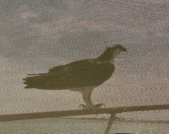
We were visited by a an osprey last night on the foredeck. As soon as we opened the side door to photograph him, he flew off so we only got pics through the window screens.
We slipped off the mooring ball by 7:45 this morning and left Titusville with dolphins saying goodbye. An hour later, we are going through Haulover Canal and entering the dull and boring Mosquito Lagoon on our way to Daytona tonight.
Haulover Canal is one of my favorite spots along the ICW. It is a short canal with a bridge we barely fit under and there are always manatees, birds and fishermen around.
I couldn’t snap any good manatee pics but got some of birds. Some look like black storks but Google says that black storks aren’t in the US at all so I don’t know what they are. Perhaps just buzzards? They looked like a stork. Several blue herons were around as well.
We arrived at Daytona and did not like the anchoring options, even though we anchored there in February. The anchorage was full of local and permanent boats, they didn’t look well attended and the current was ripping, so we voted to move on and hopefully arrive before dark at the next suitable spot. There aren’t many suitable anchoring options in this section of FL along the ICW and a marina is not our 1st choice unless we need fuel or water. So, off we go to Fort Matanzas area. It was an extra 4 hours but doable since it was early in the day.
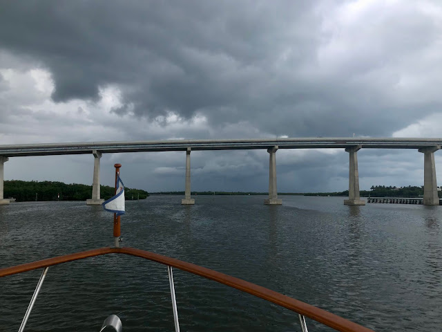
We didn't escape this red cell thunderstorm going over us, which doesn't look bad in the photo at all but we had some heavy rain and lightening for about 30 minutes.
Happy hour was very late but well deserved! And we got some great cloud and after storm pics.
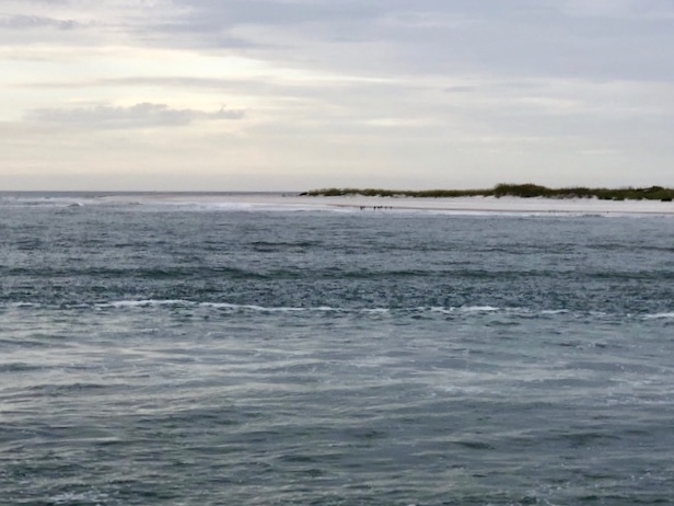
Fortt Matanzas was built by the Spanish in 1742 to guard the Matanzas Inlet and River which could be used as a rear entrance to the city of St Augustine. It is now a national monument.
Anchored at 6:55 Fort Matanzas
Miles: 82
Miles total: 1235
________________________
July 12, Friday
Left the Fort Matanzas anchorage 9:05 AM and arrived at St Augustine Municiple Marina and moored at10:55 on #8. Our regular mooring ball.
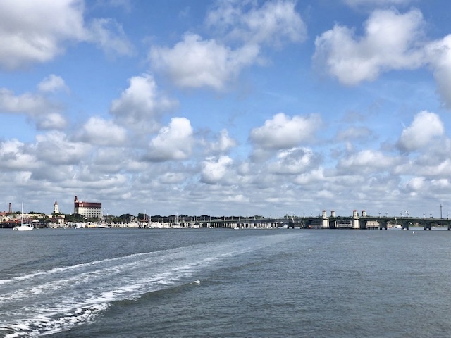
Approaching the city and the Bridge of Lions.
View from our mooring.
Why do we never get tired of watching dolphins or trying to capture them in a photo!
We spent the afternoon in the city and had some Blue Moons on the Sangria's balcony and a great meal at The Columbia. That seems to be our standard stops in the city of St A!
The afternoon t-storms were close by but never came over us. We got to bed early in hopes of an early departure for a long offshore day tomorrow. The forecast had changed again and it doesn’t look good now.
Miles 15
Miles total 1249
______________________________
July 13, Saturday
Left our mooring at 7 AM.
The forecast has changed again and it looks good now! There is a possibility of an afternoon storm that may scream by but they are short.
Going offshore, we traveled out the inlet in a fury of small local fishing boats going out the channel. It happens to be the mini season for red snapper in FL, which is only Friday - Sunday. This is our 1st time going out the St Augustine Inlet which has a history of shoaling so the buoys are uncharted (but present!) and the parade of boats led the way!
We had calm seas, slightly overcast, a bit of light rain around 1:00 causing us to think about darting into St Mary’s Inlet instead of St Simon’s Inlet but we decided it was early enough to move on and the seas are still calm.
We saw a warship leaving out of St John’s River Inlet and tons of small fishing boats out. Actually, we were on a collision course with him (her?) so we slowed down to let him pass in front of us. He did sneak up on us as he was under the radar, so to speak. The radar screen showed a target point but there was zero ship information and nothing on the chart plotter where ships with transmitters show up. The whole ship disappeared except visually! and within 1/2 mile in front of us!
The day continued to remain calm, overcast and hazy, not hot and we made great time. We entered the long St Simon's Inlet and traveled an hour to our anchorage just around the tip of Little Jekyll Island.
The Brunswick Bridge is in view from our anchorage. We plan on leaving a bit earlier tomorrow as it should be another good offshore travel day, especially in GA! It is really winding and slow and shallow. These 2 days will save 2 extra days of ICW travel. Today, we were as much at 10 miles from shore traveling a straight line up the curving coast.
Miles: 89, including about 10 miles through the inlet and around to the anchorage.
Miles total: 1338
Get SUMMER BREEZE delivered by email


